Insights for turning drone capture into asset intelligence
A focused library for inspection, mapping, modelling, thermal, LiDAR, utilities, mining, construction, and operational drone-data workflows.
Topics
3
Articles
16
Focus
Assets
Latest thinking
Practical articles on the value of drone data after capture: inspections, mapping, modelling, utilities, mining, construction, and asset workflows.
Featured Insight
How Much Do Drone Inspections Cost in Australia? 2026 Pricing Guide
A comprehensive guide to drone inspection costs in Australia — pricing by type, what affects the price, and ROI comparison vs traditional methods.
30 March 2026
The Future of Drones in Australia
The drone industry in Australia is poised for significant growth. From regulatory changes to emerging technologies, explore the trends that will shape the future of commercial drones in this country.
Drone Wind Turbine Inspections
Drone wind turbine inspections provide a safer and more efficient way to assess blade condition, tower integrity, and nacelle components without costly downtime or rope access teams.
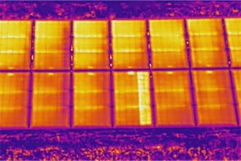
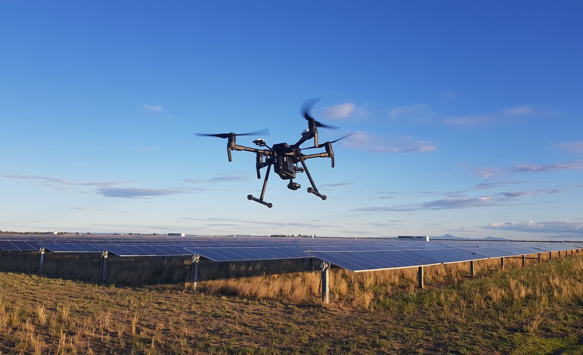
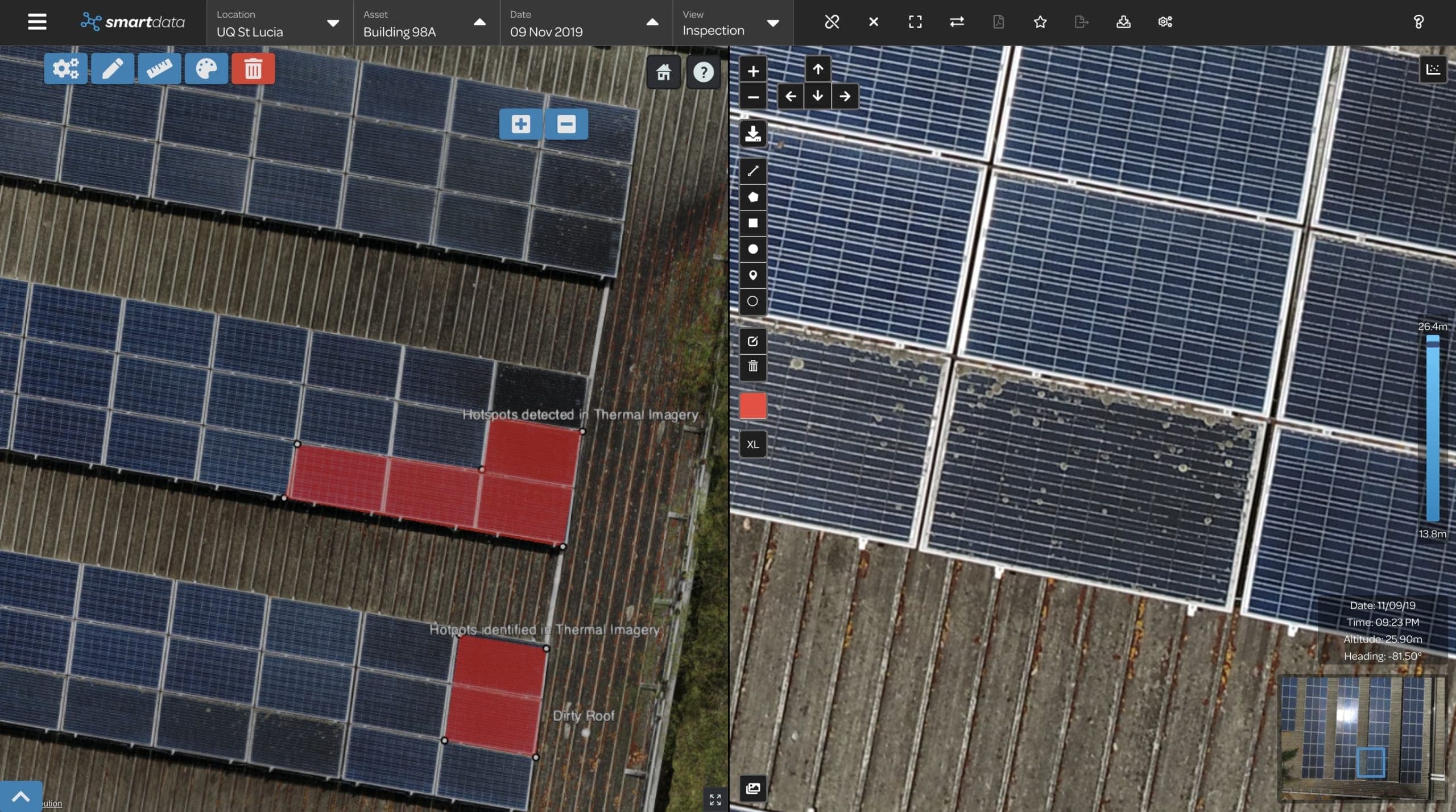
Drone Solar Panel Inspections
Drone solar panel inspections use thermal imaging to rapidly identify faults and underperforming panels across solar farms and rooftop installations. Faster, safer, and more accurate than manual methods.
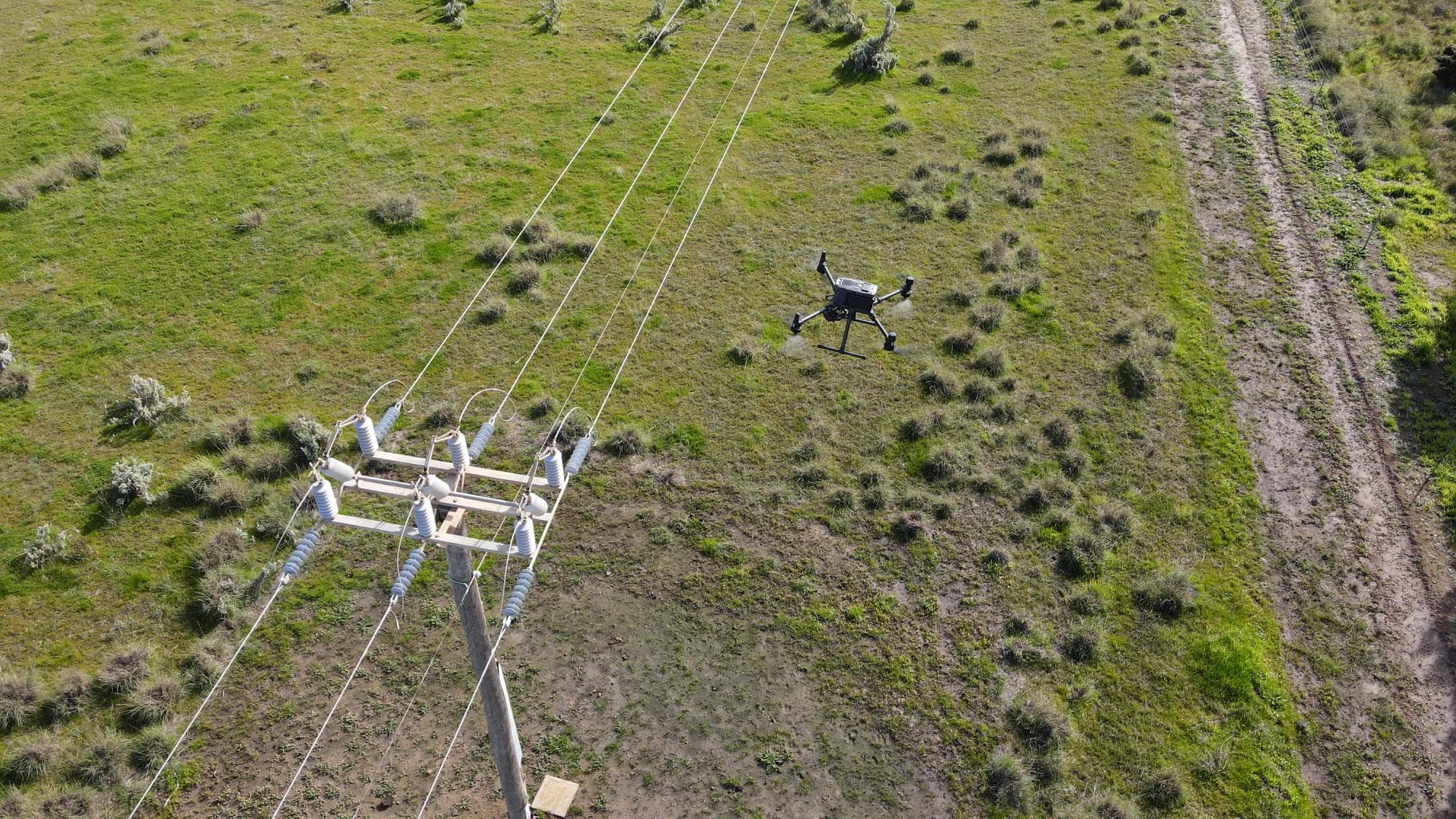
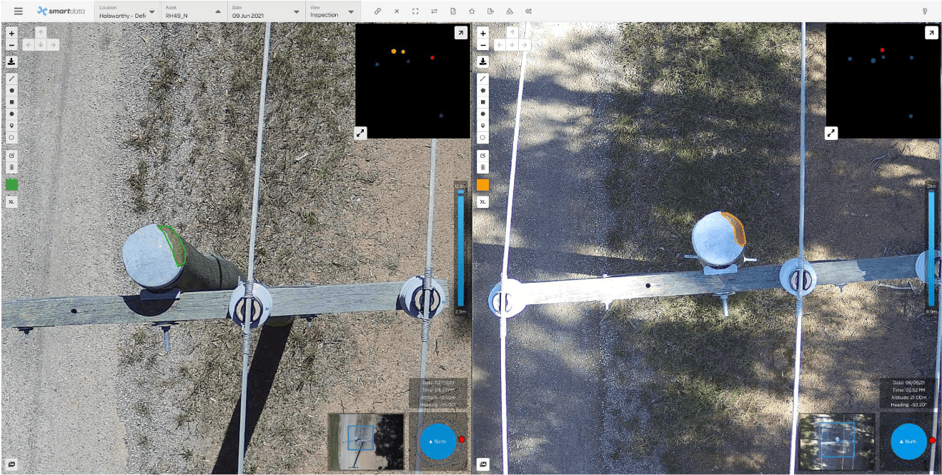
Drone Powerline Inspections
Drone powerline inspections provide a safer, faster, and more detailed method for assessing electrical infrastructure. Learn how drones are used to inspect transmission and distribution networks.
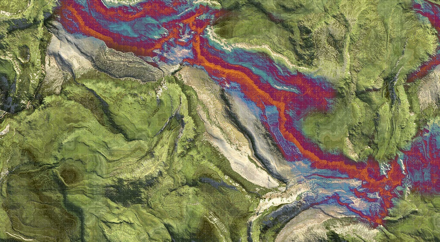
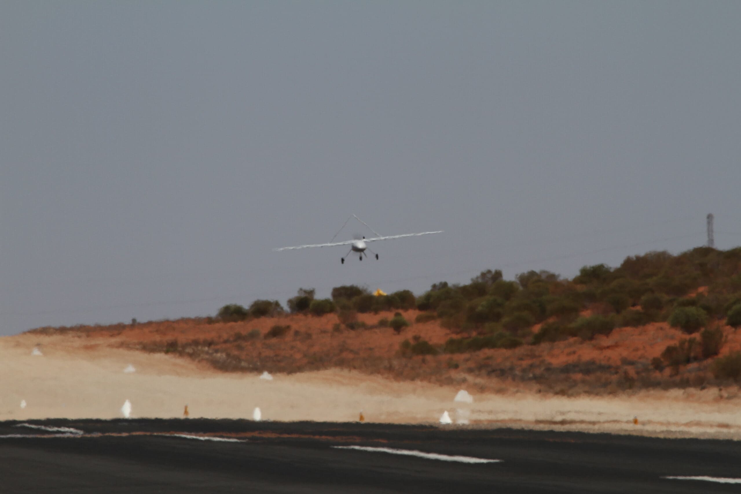
LiDAR Drone Surveys
LiDAR drone surveys deliver highly accurate 3D data that can penetrate vegetation canopy. Learn how airborne LiDAR technology is used across surveying, forestry, mining, and infrastructure.
The Importance of Thermal Drone Inspections
Thermal drone inspections are transforming how industries detect faults, monitor assets, and prevent costly failures. Learn how thermal imaging drones deliver critical data across energy, construction, and agriculture.
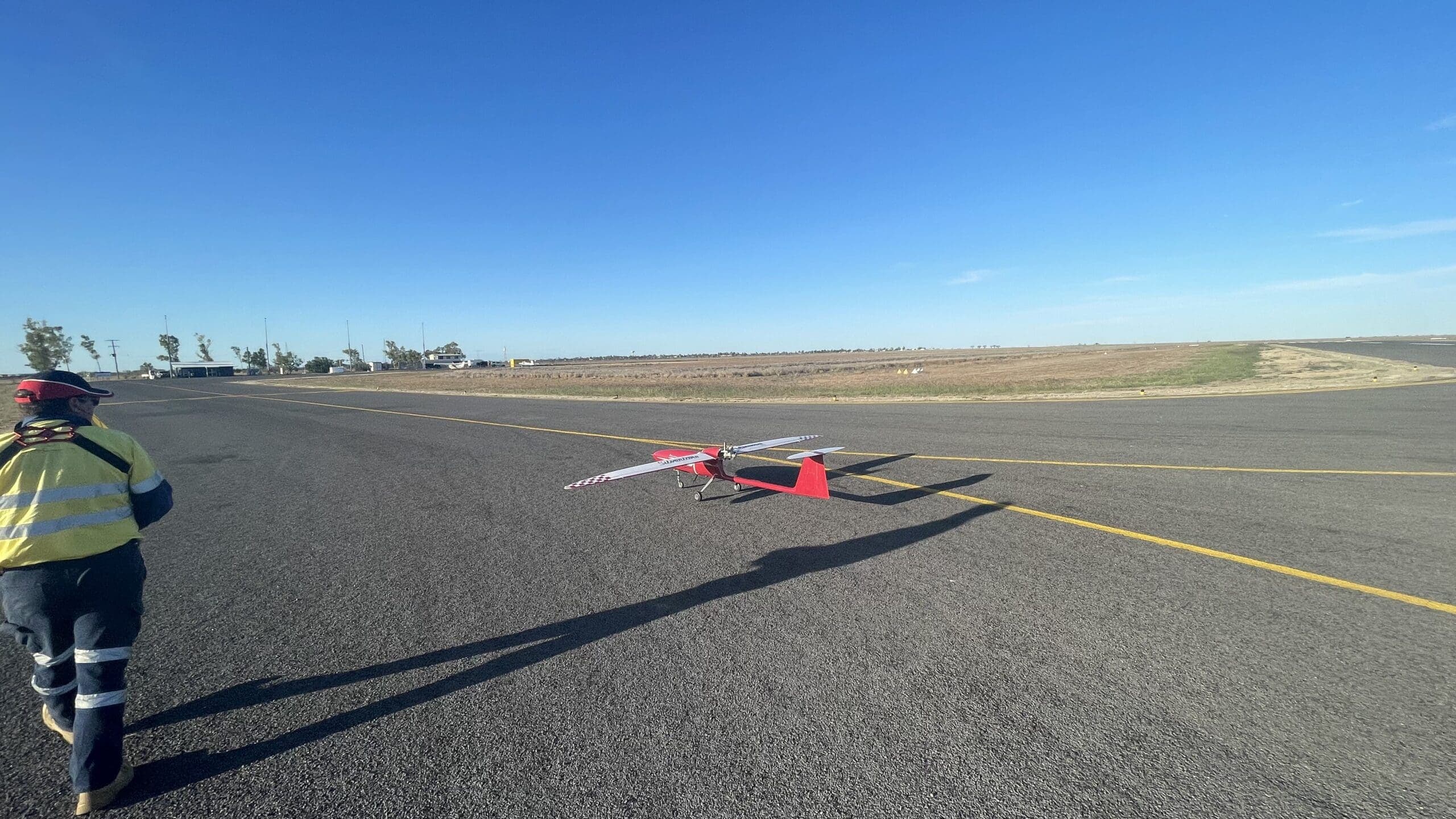
Drone Surveying and Mapping
Drone surveying and mapping delivers accurate geospatial data faster and more cost-effectively than traditional methods. Learn about the technology, applications, and advantages of aerial surveys.
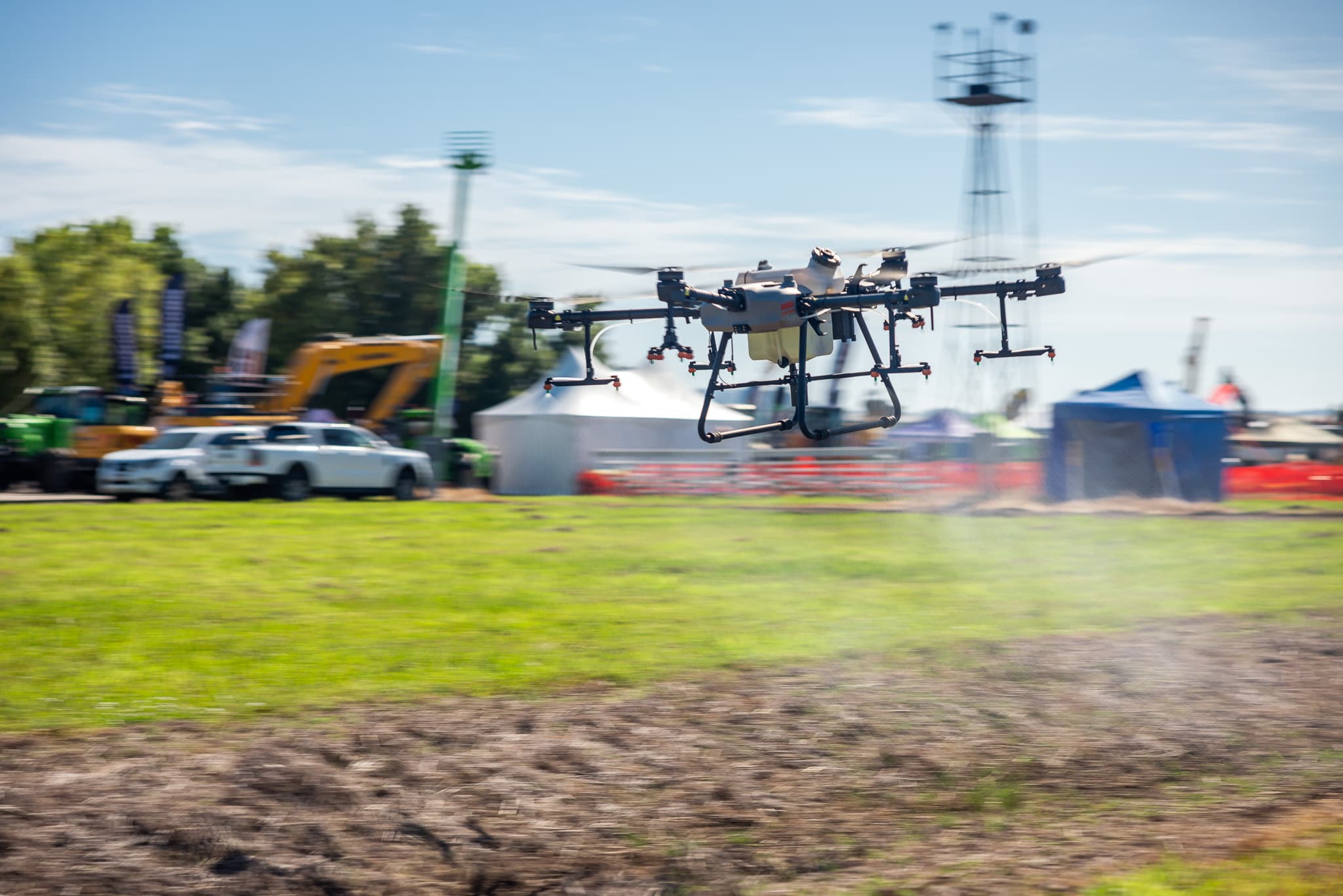
Drone Spraying with National Drones
Discover how drone spraying is transforming agriculture and pest management across Australia. National Drones delivers precision aerial spraying solutions that reduce costs, improve safety, and minimise environmental impact.
Drone Mapping and 3D Modelling
Drone mapping and 3D modelling are revolutionising how industries capture and visualise spatial data. Learn how photogrammetry and drone technology deliver accurate, cost-effective survey results.
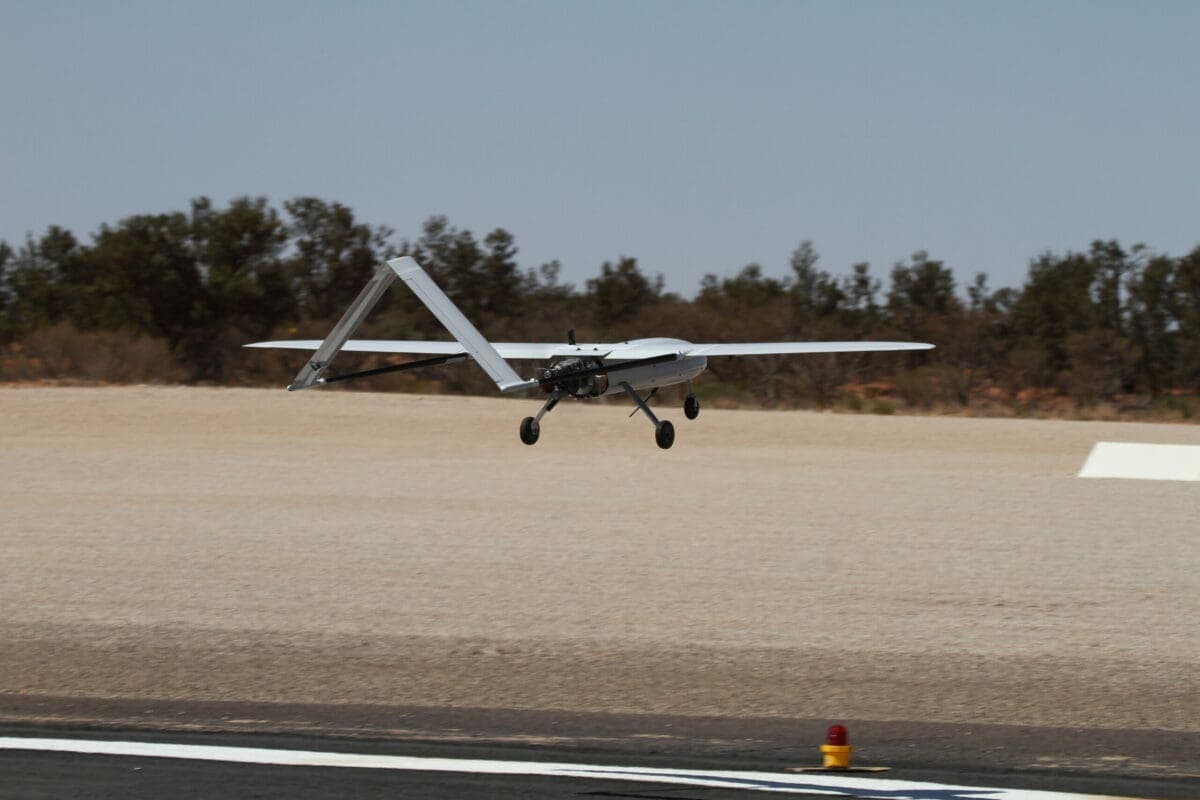
Commercial Drone Operations
Commercial drone operations in Australia are governed by CASA regulations. Learn what is required to operate drones commercially, from licensing and certification to safety management and insurance.
Drones in Construction
Drones are becoming an essential tool on construction sites across Australia, delivering faster surveys, accurate progress monitoring, and improved safety outcomes.
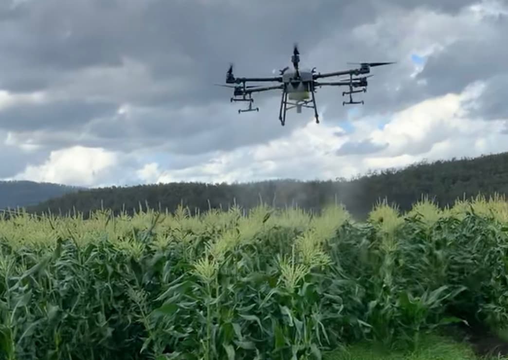
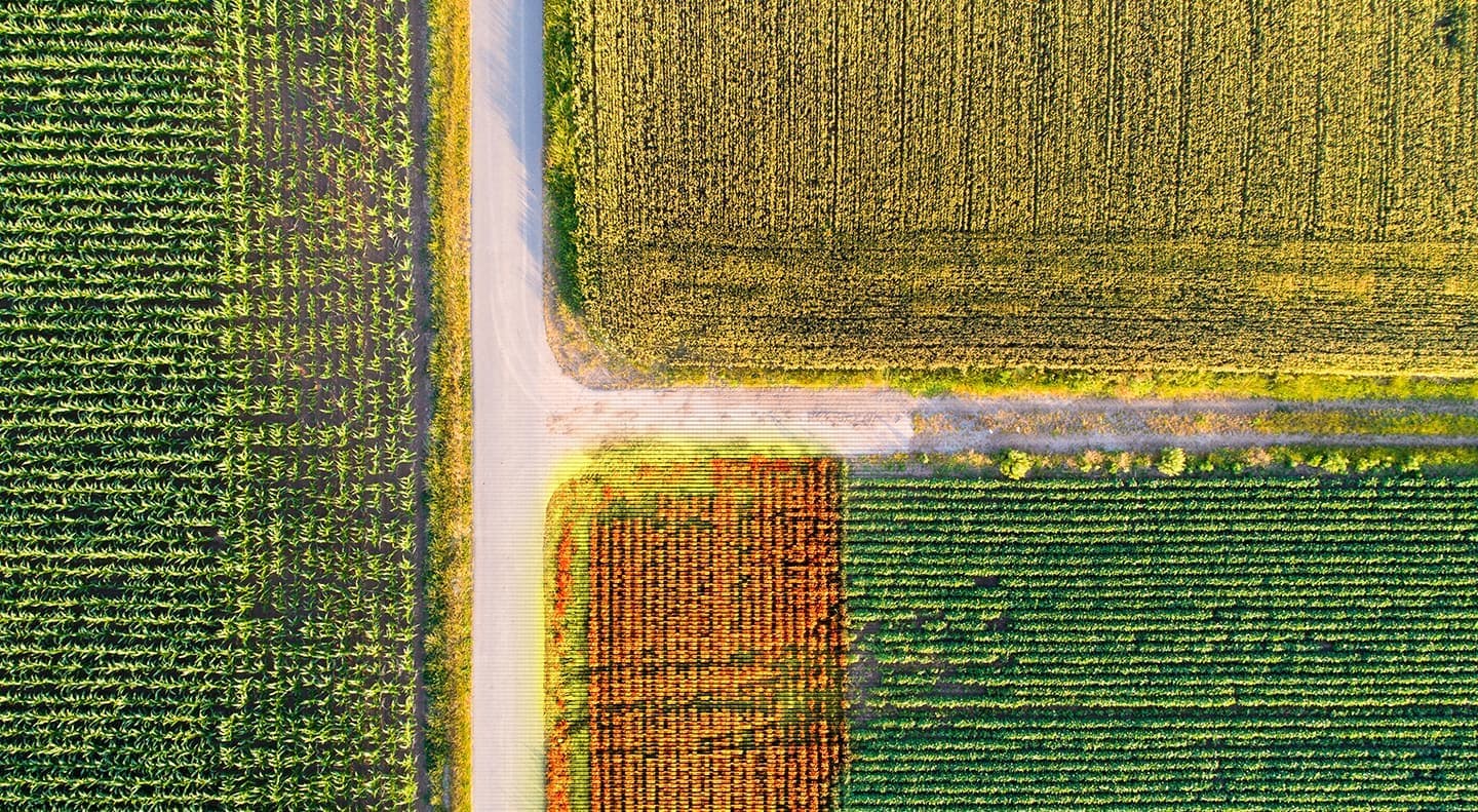
Drones in Agriculture
Agricultural drones are helping Australian farmers improve crop yields, reduce input costs, and make better management decisions. Discover the key applications of drone technology in farming.
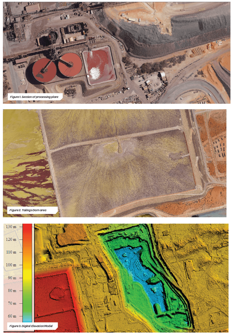
Drones in Mining
Drones are transforming mining operations across Australia, delivering safer surveys, faster stockpile measurements, and more accurate site data. Discover how drones are used throughout the mining lifecycle.
Drone Roof Inspections
Drone roof inspections provide a safer, faster, and more detailed alternative to traditional methods. Learn how drones are used to inspect residential, commercial, and industrial roofs across Australia.
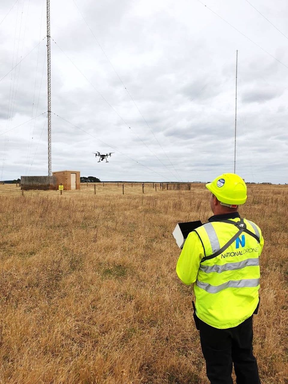
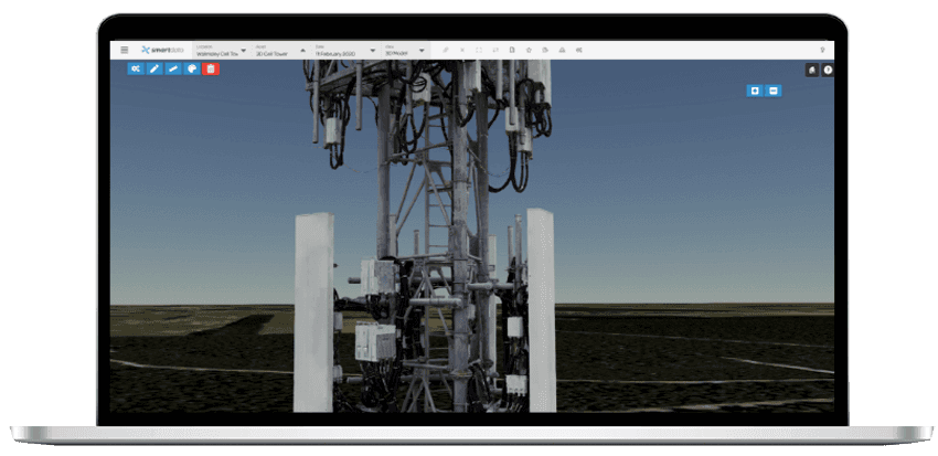
Drone Inspections
Drone inspections are replacing traditional methods across industries, delivering safer, faster, and more detailed assessments of infrastructure, buildings, and assets.