
Hosted Aerial Datasets
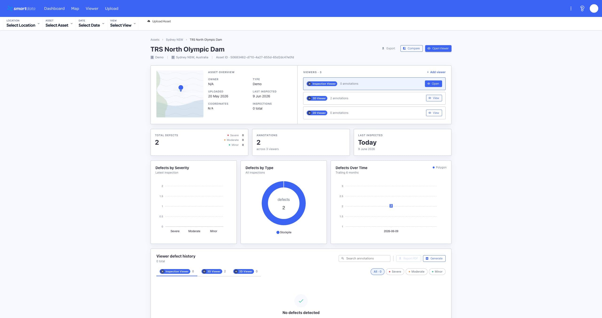
Bring inspection imagery, orthomosaics, point clouds, terrain, and 3D outputs into one searchable project workspace.
SmartData connects the datasets, viewers, AI review, reporting, and collaboration tools that turn aerial capture into asset decisions.
Dataset types
8+
Viewer modes
5
Workflow
End-to-end
Each page focuses on a different mode of asset intelligence, but the real value is that they work together in one platform.
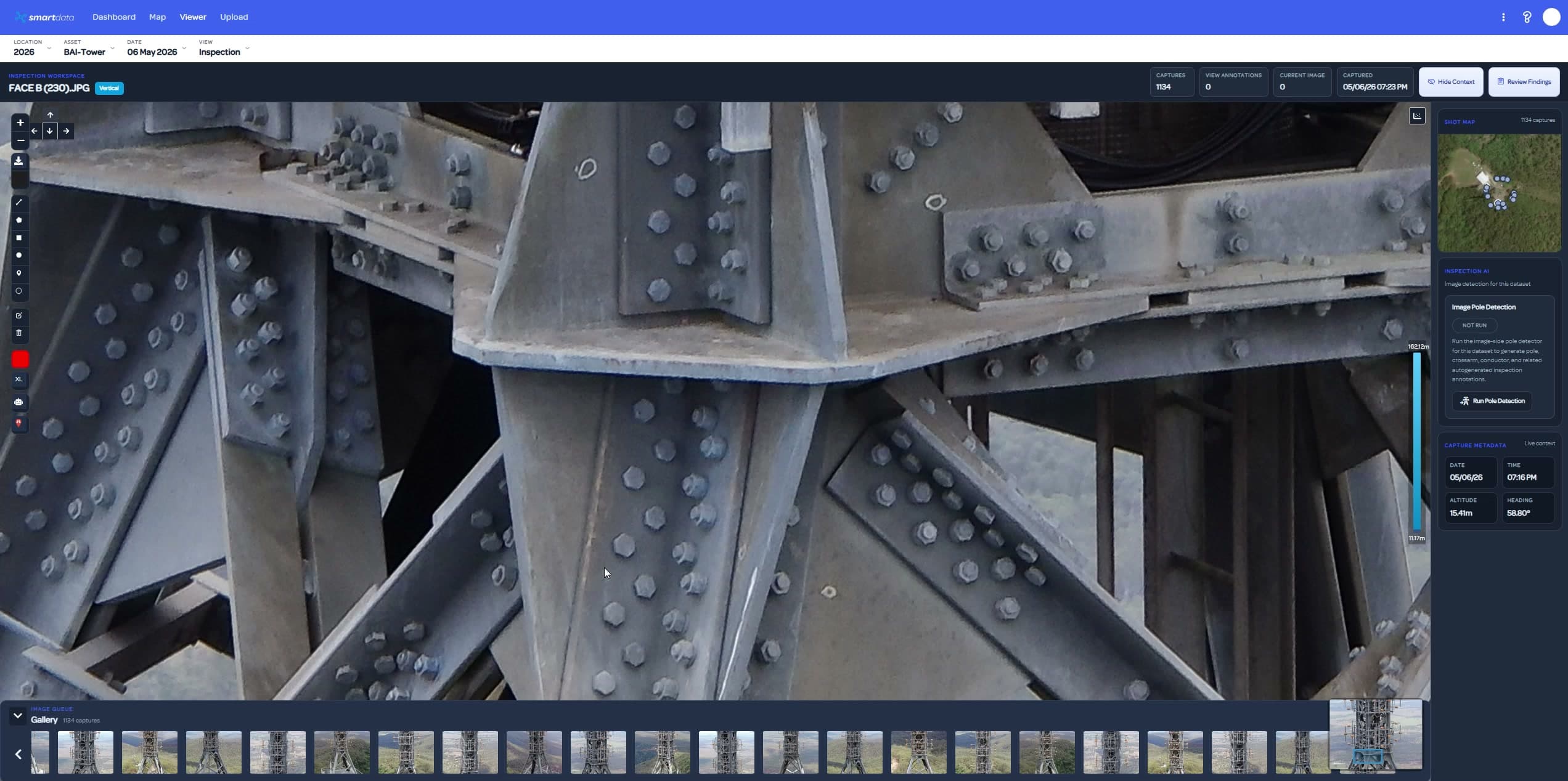
AI-assisted review for towers, poles, solar, roofs, structures, and linear assets, with annotations, status, and evidence exports.
View page
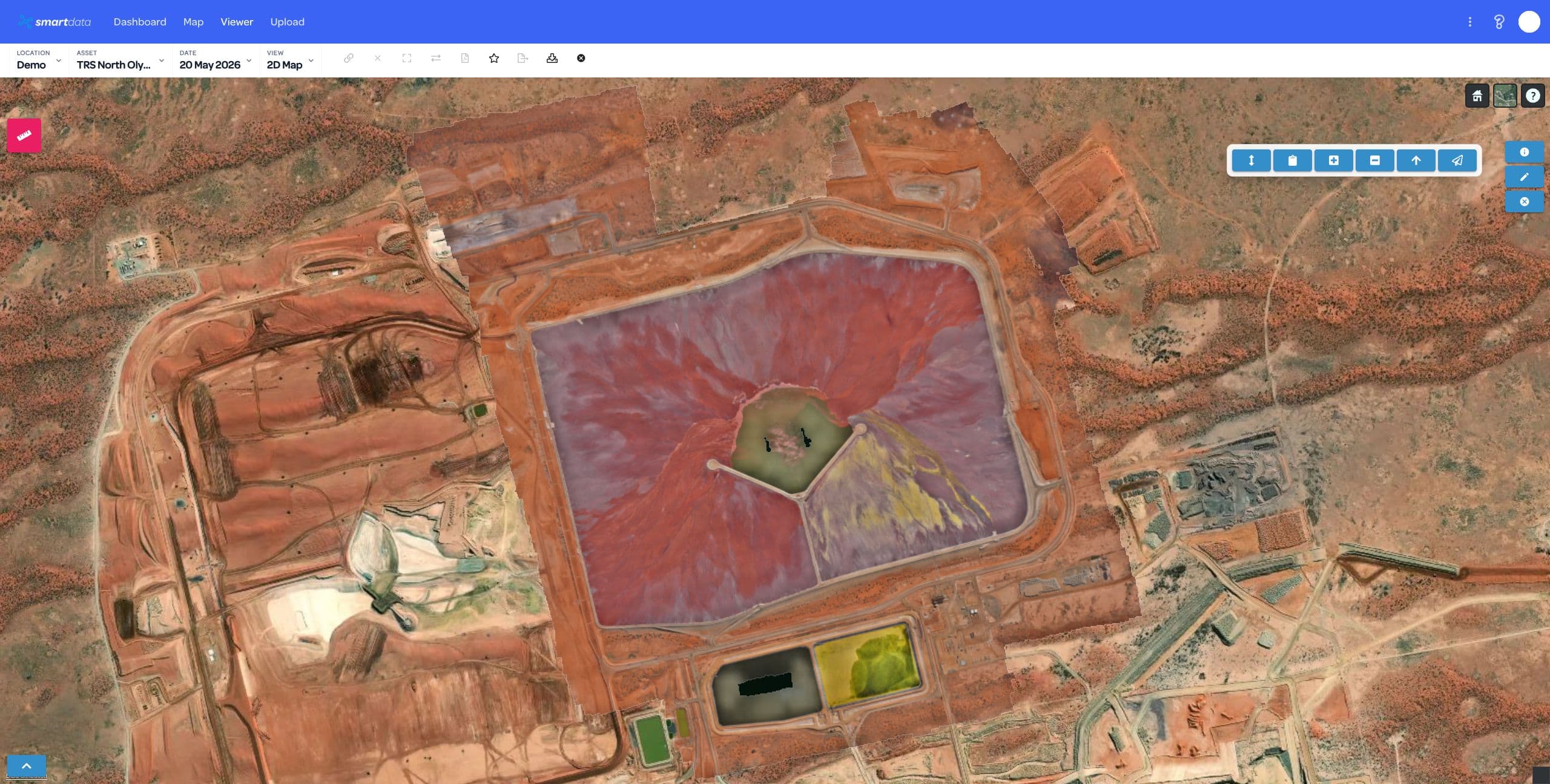
Hosted orthomosaics, terrain overlays, measurements, and comparison views for teams that need accurate site intelligence.
View page
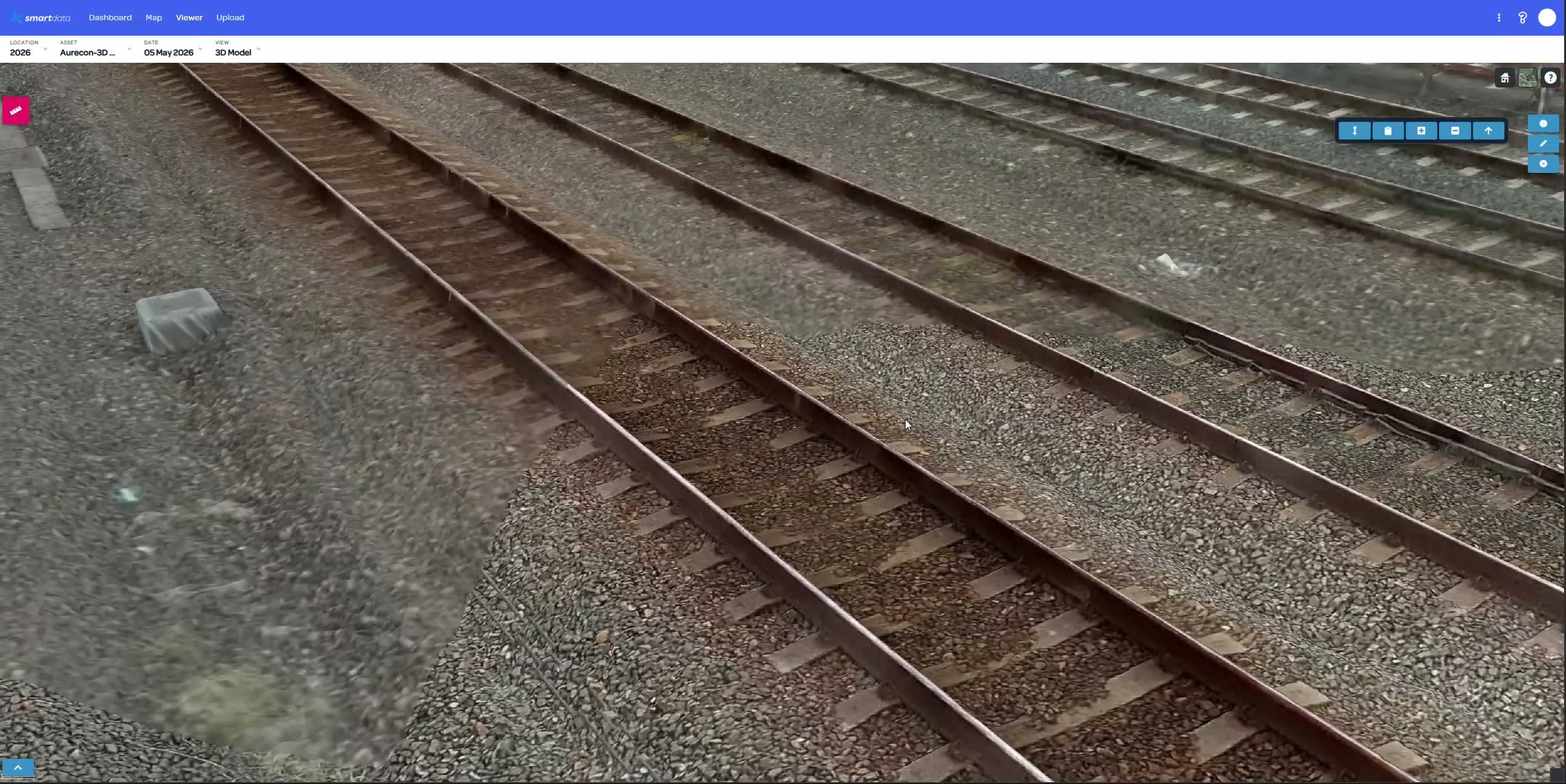
3D models, point clouds, LiDAR, and Gaussian Splat visualisation for complex assets and high-value environments.
View page
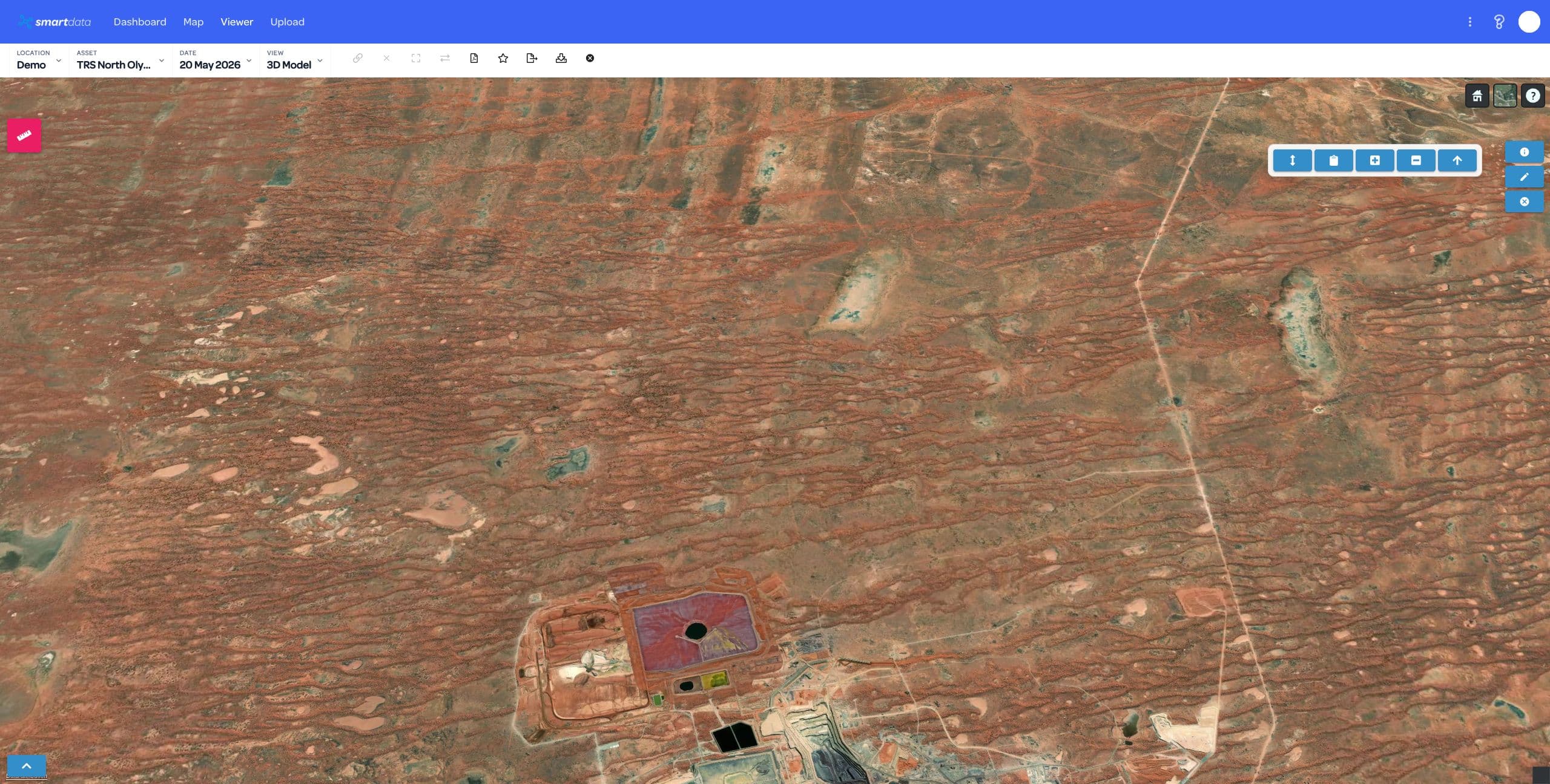
Host processed drone datasets in SmartData from DJI Terra, Agisoft Metashape, and supported upload packages.
View page
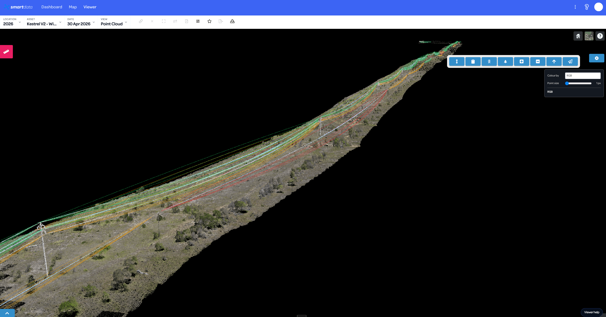
Explore DJI L3, Elios, photogrammetry, Gaussian Splatting, powerline analytics, and forestry intelligence workflows.
View page
Drone operations create excellent data. SmartData gives asset owners a governed place to interrogate it, compare it, share it, and return to it when the next inspection cycle arrives.
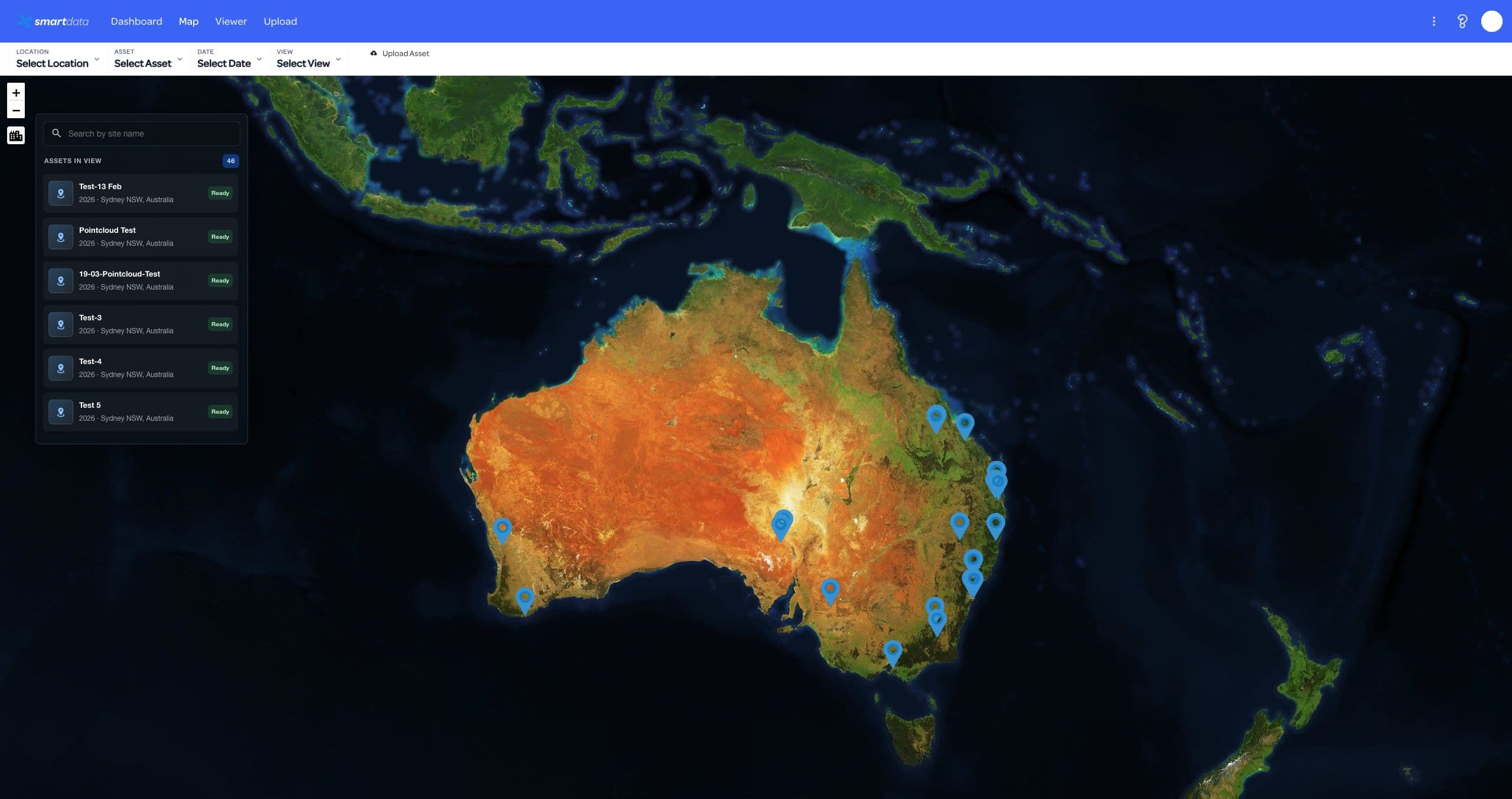
SmartData brings the core post-capture workflows together: inspection triage, 2D and 3D review, specialist utility workflows, reporting, and team handoff.
Bring inspection imagery, orthomosaics, point clouds, terrain, and 3D outputs into one searchable project workspace.
Review AI detections alongside source imagery, confidence, crops, and status so teams can triage defects faster.
Move between 2D maps, 3D models, point clouds, Gaussian Splat, thermal, and source photos without losing asset context.
Measure distance, area, volume, stockpiles, terrain, vegetation proximity, and change between repeat captures.
Package annotated evidence into reports and exports that asset owners, engineers, and field teams can act on.
Keep stakeholders aligned with shared workspaces, roles, review status, notifications, and secure access controls.
These SmartData workflows extend the platform from hosted review into processing, corridor analytics, confined-space inspection context, and specialist asset intelligence.
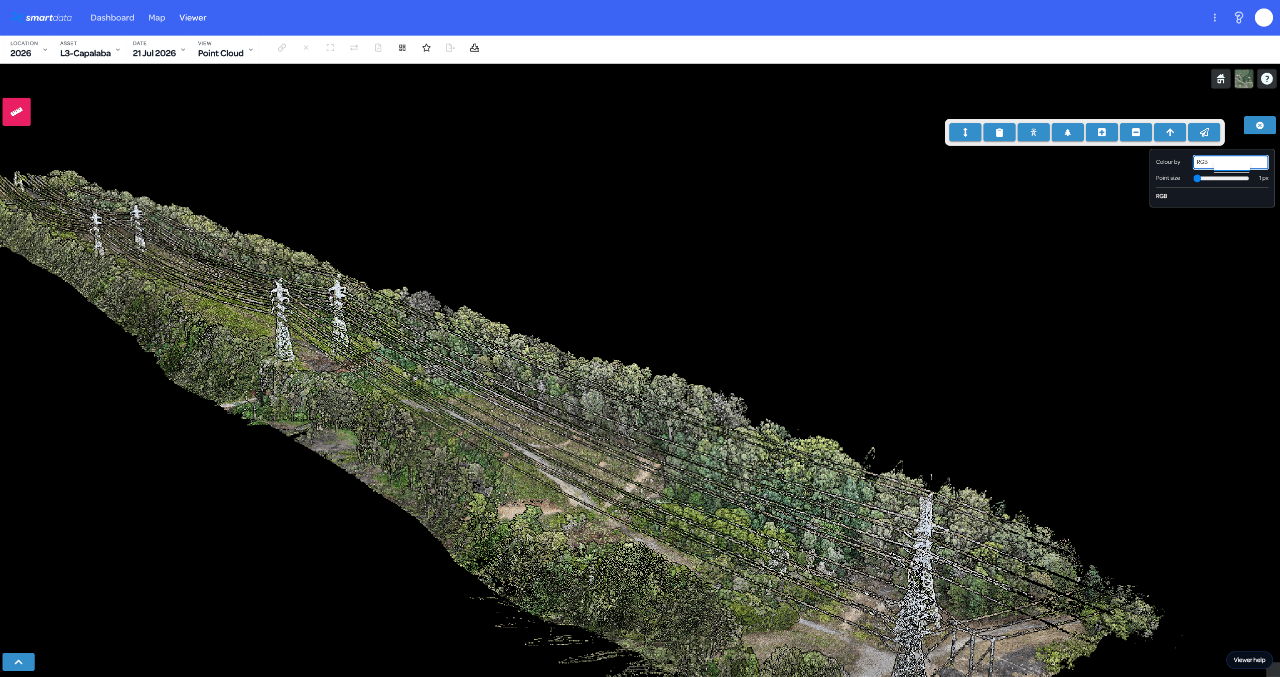
Built for LiDAR programs where DJI L3 raw missions need to become map-aligned, browser-ready evidence without a manual DJI Terra handoff.
View page
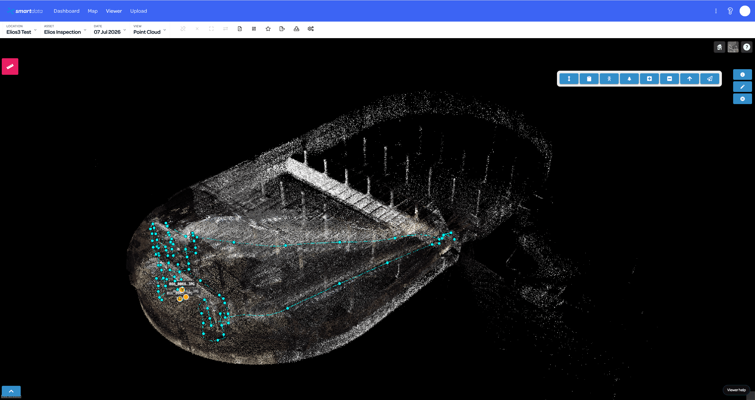
A marketing path for confined-space inspection teams that need Elios data to become reviewable evidence, not just a folder of exported files.
View page
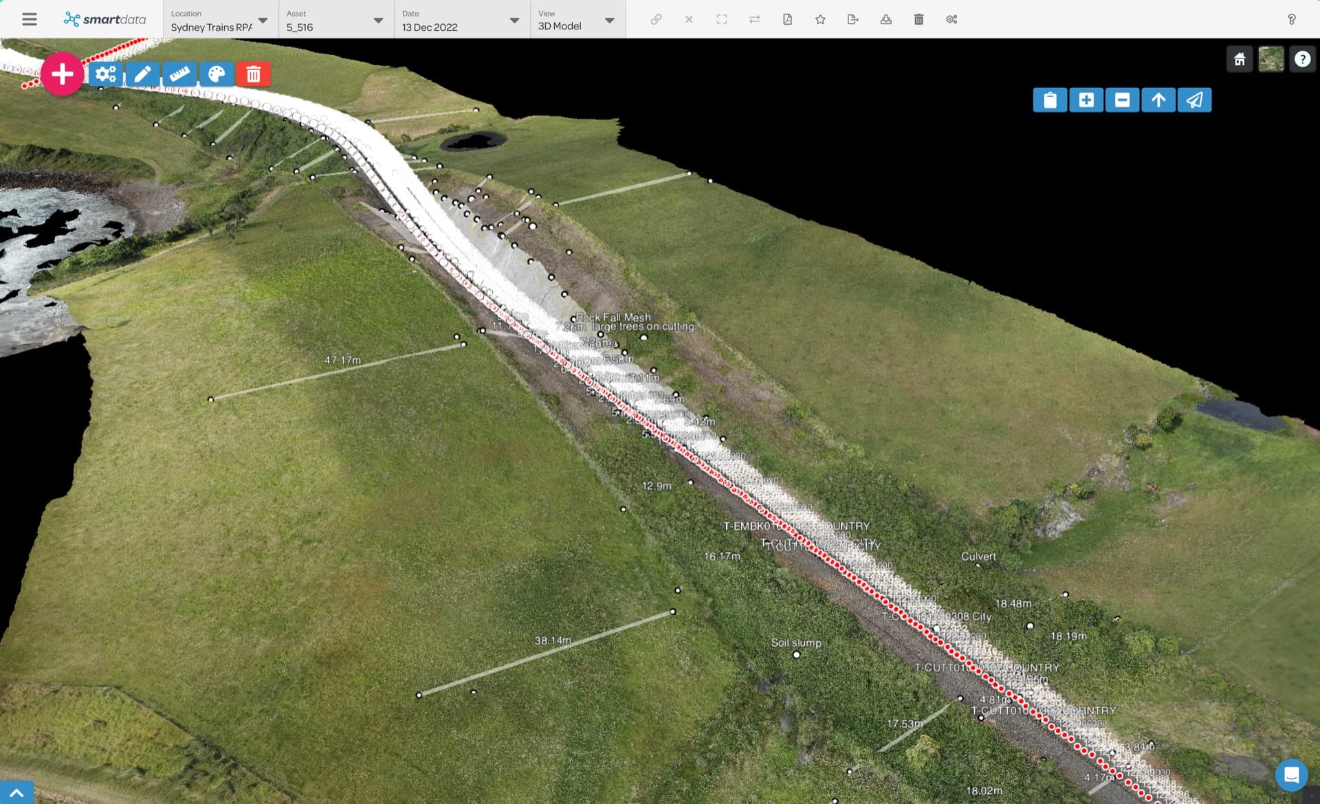
The roadmap bridge from today's BYO hosted-view packages to a future capture-to-processing-to-viewer SmartData workflow.
View page
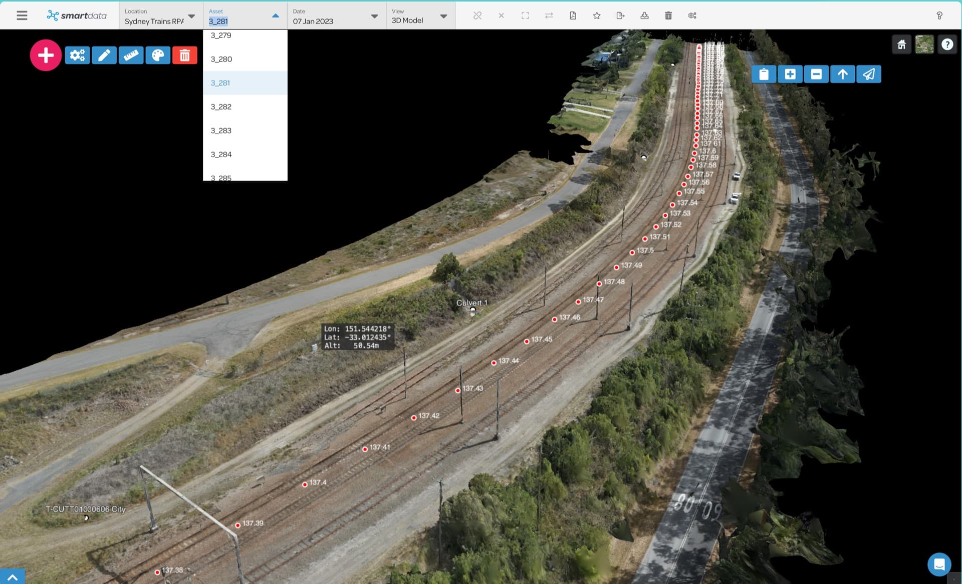
A future-facing landing page for teams wanting more photorealistic 3D context than conventional mesh or point cloud outputs can provide.
View page
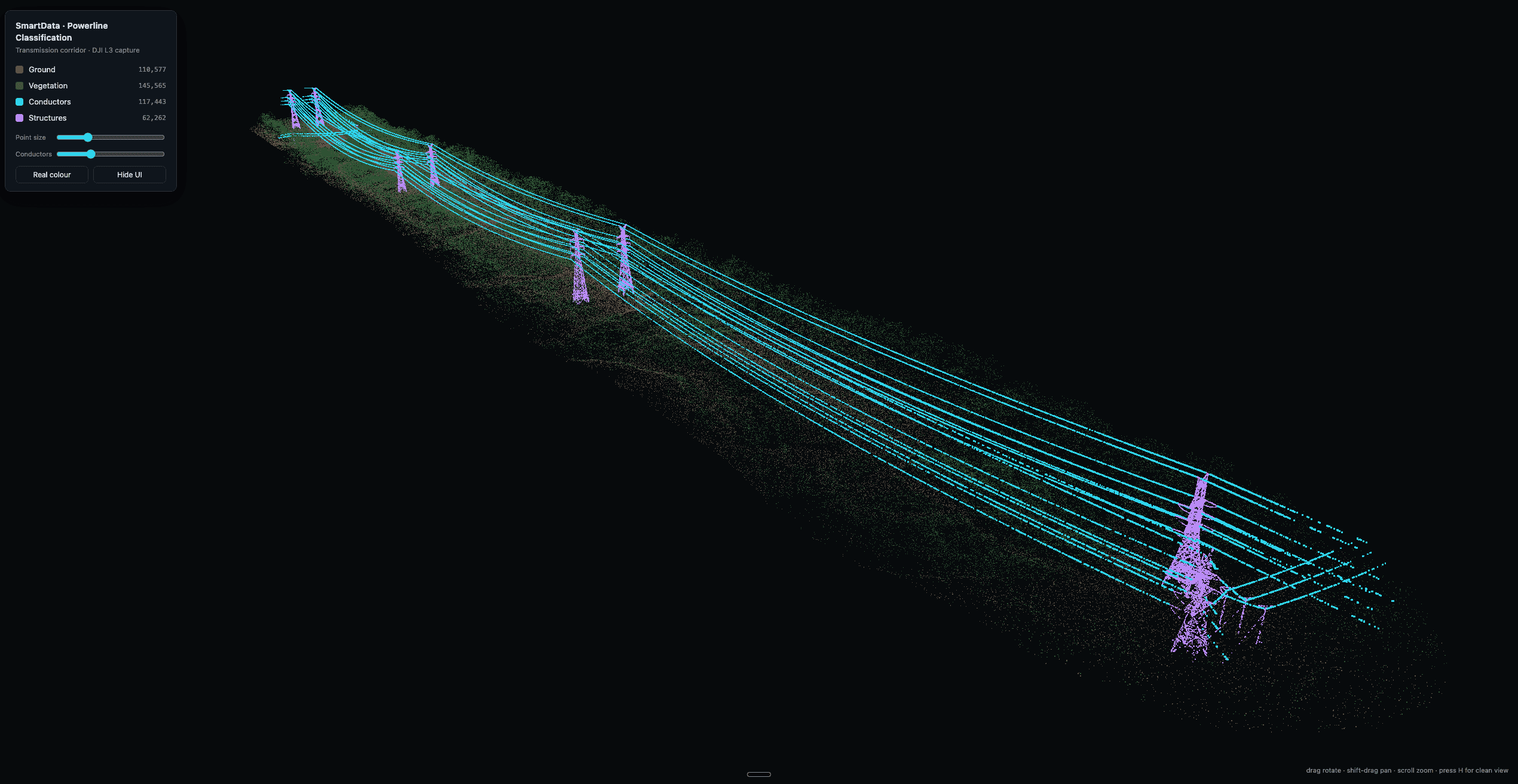
Upload a corridor scan to classify the network, review it in the browser, and build span, vegetation, and clearance-envelope intelligence from the same hosted evidence.
View page
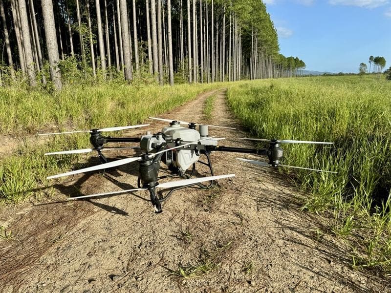
A forestry-specific page for turning L3 point clouds and ForestSmart detections into operational inventory and value-location intelligence.
View page
The workflow is deliberately simple for operators: bring the capture in, inspect it in context, then export the evidence in a form the business can use.
Add the drone deliverables your team already produces: imagery, 2D maps, models, LiDAR, thermal, terrain, and splats.
Use viewer modes, AI detections, annotations, measurements, and comparison tools to find the operational signal.
Turn evidence into reports, exports, assignments, and stakeholder review without sending teams into separate tools.
Bring a sample dataset, inspection workflow, or corridor problem. We will map the right SmartData path and show where the sandbox experience can support your own asset workflow.